Google DeepMind Unveils AlphaEarth Foundations, an AI System for Planetary-Scale Mapping
Alphabet's AI research division has introduced AlphaEarth Foundations, a machine learning model capable of ingesting massive volumes of satellite imagery daily to monitor shifts across Earth's terrain and waters.
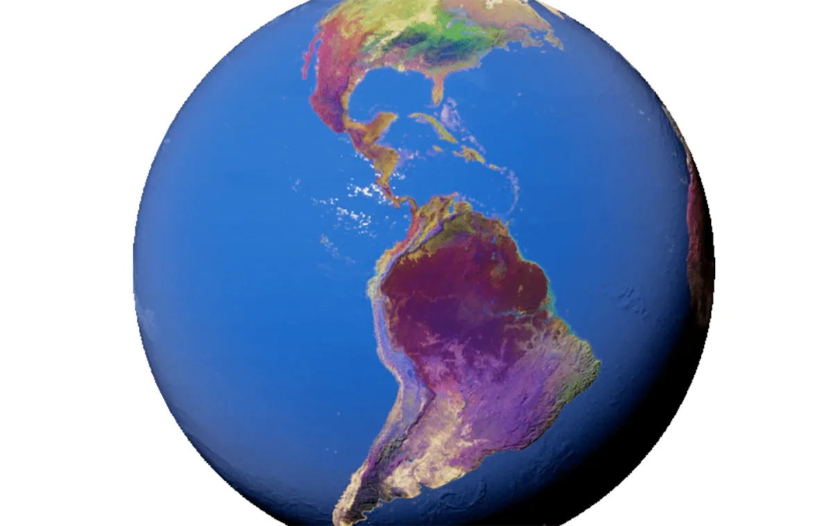
On Wednesday, Google DeepMind, the artificial intelligence research division of Alphabet Inc., unveiled AlphaEarth Foundations, a machine learning system designed to handle terabytes of satellite data each day in order to detect and record surface transformations across the globe.
The release represents a component of Google Earth AI, an initiative encompassing geospatial AI models and datasets intended to assist researchers, businesses and organizations in addressing pressing environmental and societal challenges.
The system operates as a virtual satellite, according to Google's description, capable of converting the planet's land masses and coastal regions into digital representations known as embeddings that machine learning and AI systems can analyze and process.
This allows the model to provide scientists with a more complete and consistent picture of our planet's evolution, helping them make more informed decisions on critical issues like food security, deforestation, urban expansion, and water resources.
the AlphaEarth team
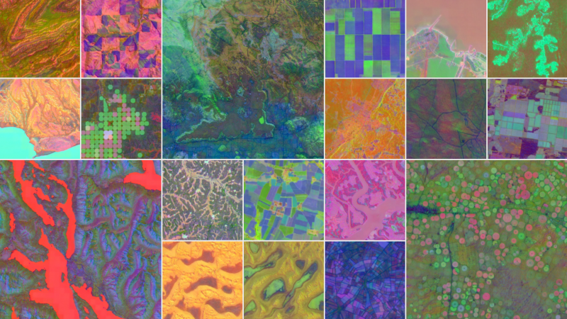
DeepMind's approach consolidates information from numerous publicly available sources—including optical satellite imagery, radar data, 3D laser mapping and climate simulations—into 10-by-10-meter grid cells. This granular approach enables the system to detect transformations with considerable accuracy across extended periods.
The system achieves significant efficiency gains by condensing data into summaries that demand 16 times less storage compared to conventional AI approaches, thereby lowering the expenses associated with large-scale planetary analysis. Testing conducted by DeepMind demonstrated that AlphaEarth achieved a 24% lower error rate relative to competing models evaluated by the research team.
Google Earth Engine now hosts a substantial dataset derived from this technology: the Satellite Embedding dataset, among the most extensive of its category, containing over 1.4 trillion embedding footprints annually. Organizations worldwide are already leveraging this dataset, including the United Nations' Food and Agriculture Organization, Harvard Forest, Group on Earth Observations, MapBiomas, Oregon State University, the Spatial Informatics Group and Stanford University.
Google Earth Engine itself, established 15 years prior, functions as Google's comprehensive multipetabyte repository of satellite imagery and geospatial information designed for analysis at planetary scale.
The Satellite Embedding dataset is revolutionizing our work by helping countries map uncharted ecosystems — this is crucial for pinpointing where to focus their conservation efforts.
Nick Murray, director of the James Cook University Global Ecology Lab and global science lead of Global Ecosystems Atlas
The Global Ecosystems Atlas undertaking focuses on cataloging and tracking Earth's diverse ecosystems through environmental information. The initiative employs the new dataset to assist nations and governmental bodies in categorizing previously unmapped ecosystems into classifications including coastal shrublands and hyper-arid deserts. Through this capability, entities can strategically allocate resources toward combating ecosystem loss and identifying priority zones for protective measures.
According to DeepMind, the technology permits a broader range of scientists, researchers and governmental officials to accomplish previously infeasible objectives: producing standardized, high-resolution planetary maps on demand without requiring access to satellite infrastructure. Continuous annual monitoring facilitates more straightforward temporal and regional comparisons for data specialists.
Applications span numerous domains: researchers can employ the system to assess agricultural productivity, monitor forest loss, or document construction activities indicating metropolitan expansion. Because the information is structured comprehensively, it becomes amenable to searching, comparison and integration with sophisticated AI analysis, enabling the creation of sophisticated geospatial intelligence frameworks.
Read more

Infor bets industry expertise can make AI agents trustworthy in enterprise operations
As agentic AI moves from labs into production systems, enterprises face a critical challenge: determining what autonomous systems should be permitted to do. Infor is positioning industry-specific context as the answer.
19-Year-Old Founder Raises $11M for Ghost, Launching $3,499 Personal AI Computer
Zain Javaid, who abandoned a career in quantitative finance after ChatGPT's release, has secured seed funding for Ghost, a startup building dedicated hardware for running AI agents locally on a person's device.

Nvidia and CoreWeave Address CPU Constraints in Agentic AI Systems
As agentic AI systems shift from answering questions to executing tasks, CPU performance has become a critical bottleneck. Nvidia's Vera CPU, deployed through CoreWeave's infrastructure, aims to handle the execution work that GPUs cannot, supported by security controls and performance optimizations.