AI Gains Ground in Climate Monitoring, But Data Growth Outpaces Analysis Capabilities
Machine learning systems are becoming adept at processing satellite imagery for environmental tracking and disaster prediction, yet the sheer volume of information being collected continues to exceed the infrastructure's ability to analyze it in real time.
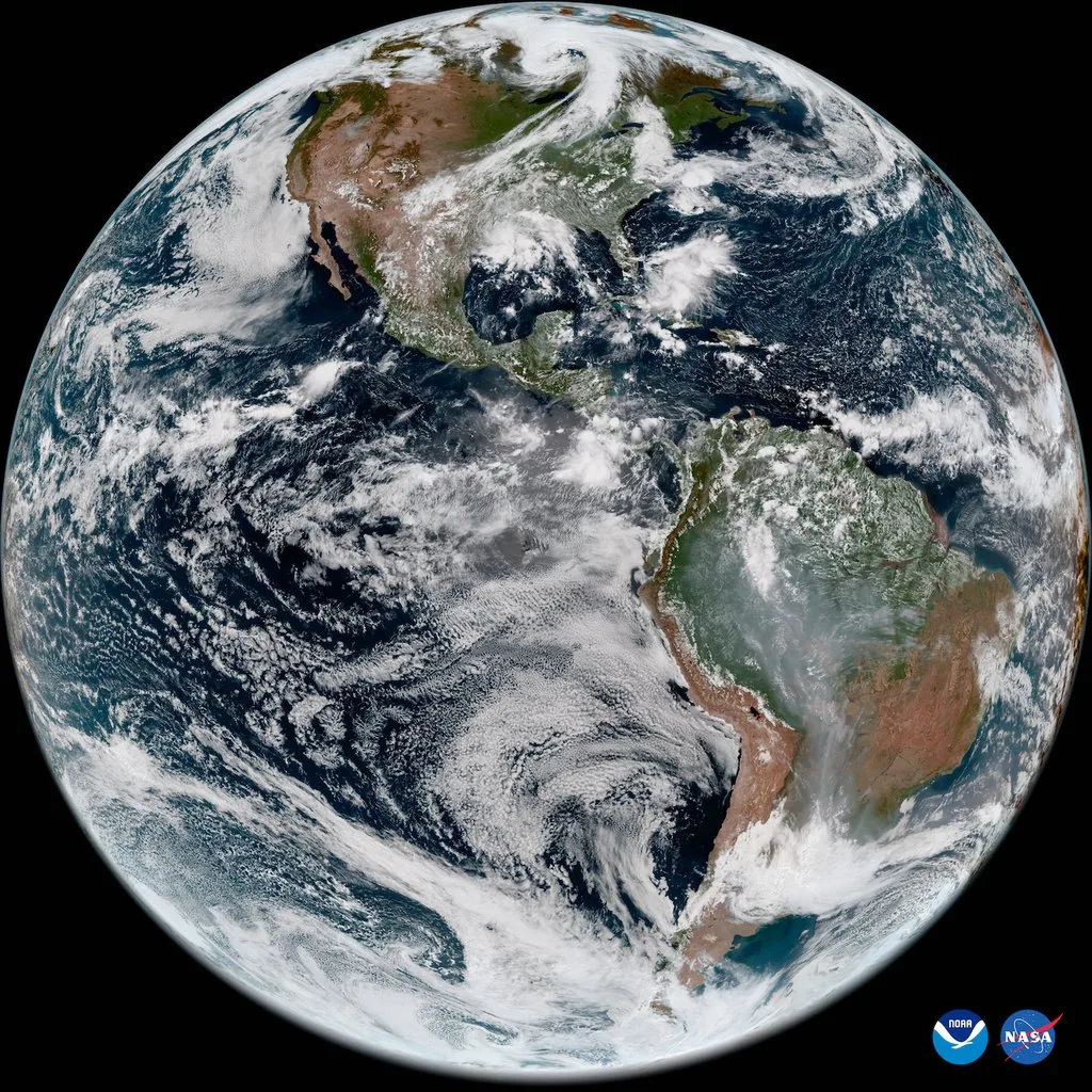
Satellite networks are flooding researchers with environmental data at unprecedented rates. A single constellation transmits 1.6 terabytes daily—far beyond what human analysts can process. Machine learning has emerged as the solution, helping organizations extract actionable insights from this torrent of information. However, experts caution that the pace of analysis still lags behind the velocity of data generation, creating a widening chasm between what we can observe and what we can act upon.
AI boosts climate monitoring accuracy
Recent developments demonstrate tangible improvements in environmental intelligence. Systems trained on 23 terabytes of unlabeled satellite imagery are delivering superior results compared to conventional approaches. A model leveraging the DeepSeek architecture enhanced disaster early-warning capabilities by 18%, potentially reducing casualties from floods, wildfires, and severe storms. Google's analysis of 800,000 satellite images revealed that global rooftop solar installations could theoretically generate electricity equivalent to three times current worldwide consumption. The company's AI-driven nowcasting system also surpasses traditional weather prediction methods, earning recognition from meteorologists at the Met Office.
Consumer technology is also contributing measurably to energy conservation. Google Nest thermostats have reduced electricity consumption by 113 billion kilowatt-hours since their 2011 launch—equivalent to twice Portugal's annual power usage.
The data is growing faster than the infrastructure
The expansion of available data continues to outstrip computational resources. NASA's Earth Science Data Systems processed 59 petabytes in 2021, with projections reaching 250 petabytes by 2025.
This explosive growth creates obstacles for warning systems. Land cover mapping initiatives that monitor agricultural regions exhibit significant inconsistencies. Across African nations, fewer than 0.5% of map pixels demonstrate alignment across different models. Such discrepancies pose serious challenges for policymakers and humanitarian organizations responding to environmental emergencies.
DeepMind research director Koray Kavukcuoglu emphasized that "labor-intensive and time-consuming" dataset preparation remains a bottleneck, and numerous AI systems still encounter difficulties achieving real-time scalability. He also flagged security considerations, stressing that safety must be "at the core of model development," particularly for systems forecasting natural disasters.
What this means for the planet's future
Machine learning systems are positioned to reshape how societies prepare for extreme weather. Certain models are already issuing hurricane landfall predictions ahead of official meteorological alerts. Applications span wildlife monitoring in the Serengeti to simulating plasma behavior in nuclear fusion research.
Integrated platforms such as Google's Gemini are reshaping the field by handling multiple data formats—text, imagery, video, and sound—simultaneously, enabling more holistic and instantaneous environmental monitoring.
As data volumes accelerate and climate emergencies intensify, the coming 18 months will reveal whether artificial intelligence deployment can keep pace with the urgency of planetary challenges. The technological capacity exists to monitor and safeguard Earth's systems, provided implementation occurs swiftly enough.
Read more

Identity governance faces new test as AI agents proliferate across enterprises
Autonomous AI agents are forcing organizations to rethink how they manage access and permissions at machine speed. SailPoint's Navigate conference will explore how identity security must evolve to handle this expanding population of non-human actors.

Vertical AI and Purpose-Built Hardware Drive Next Wave of Technology Growth
Specialized AI systems tailored to specific industries are emerging as the primary engine for the next phase of technology expansion, according to insights from the Bank of America Private Tech Trailblazers Conference 2026.

CrowdStrike and CoreWeave Partner to Automate AI Security at Machine Speed
As cyberattackers breach systems in seconds, CrowdStrike and CoreWeave are embedding automated defenses throughout AI infrastructure, turning attacks into training data for faster response.